
SR-9/Zion-Mt. Carmel Highway (ZMCH) Construction
Zion Travel Tips
Your Guide to Leaf Peeping in the Zion Area
Updated:
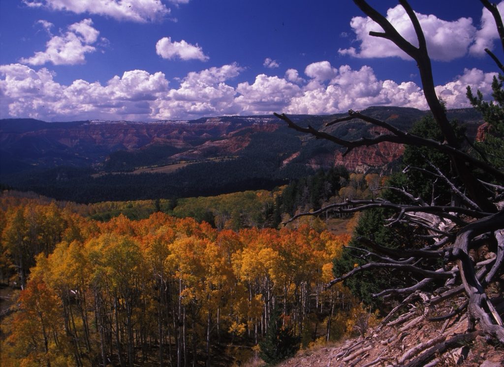
Fall is a great time to take a scenic drive and enjoy the changing colors in Southern Utah. Popular roads, destinations and trailheads can be busy during the fall season. Use this guide to plan your route, understand park access requirements and check road conditions before traveling.
When is the best time to see fall colors in the Zion Area?
With a later season than the northern areas, fall foliage in the Zion Area is typically at its peak in late October or early November. What you’ll see varies by elevation; higher-elevation areas, such as Cedar Breaks National Monument, Brian Head, and Dixie National Forest, tend to reach peak color first, and then the color moves down the canyons.
As the peak season approaches, follow local meteorologists who monitor the fall colors forecast. Keep in mind that fall is becoming a more popular time to visit these areas, so expect the weekends to have increased traffic from all users.
Time Your Trip by Elevation
Late September to Early October (8,000’–10,000’+): Higher-elevation areas like Cedar Mountain (SR-14), Cedar Breaks National Monument, and upper Kolob Terrace Road, typically change first.
Mid-to-Late October (4,000’–7,000’): Fall colors generally move into Kolob Canyons, East Zion and the high plateaus.
Late October to Early November (2,500’–4,000’): Cottonwoods typically reach peak color along the Virgin River, Zion Canyon, in Springdale, and nearby low-elevation areas like Snow Canyon State Park.
What are some popular fall scenic drives in the Zion area?
Southern Utah Fall Color Loop
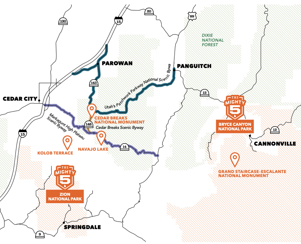
The Southern Utah Fall Color Loop includes SR-143, SR-148, and SR-14. It traverses the high country and passes Cedar Breaks National Monument, Brian Head, and Dixie National Forest. Fall colors along this route typically peak around late September to early October.
- Distance: Approximately 135 miles
- Driving Time: Approximate 3 hours without stops
👉Explore Visit Utah’s Guide to Scenic Byways for additional information on fall foliage in the area.
Kolob Fingers Road Scenic Byway
Kolob Canyons Road, also known as Kolob Fingers Road Scenic Byway, is a 5-mile scenic drive in the northwestern section of Zion National Park. Access the road from the Kolob Canyons Visitor Center at Exit 40 on I-15, about 17 miles south of Cedar City.
Fall colors typically appear in Kolob Canyons during October, but timing varies with weather and elevation. The road provides access to several viewpoints and trailheads along the route.
Access and Parking: Stop at the Kolob Canyons Visitor Center to show a valid park pass or pay the Zion National Park entrance fee. Keep in mind there is no shuttle service in Kolob Canyons. Parking is available at designated viewpoints and trailheads, but space is limited.
- Distance: Approximately 5 miles one way
- Driving Time: Approximately 25 minutes round trip without stops
Pets are allowed along public roads and in parking areas but are not allowed on trails in Kolob Canyons. Service animals are permitted in accordance with National Park Service requirements.
👉Get more details about the scenic byway on our UDOT Zion Area Scenic Byway webpage and page.
SR-9 or Zion Scenic Byway
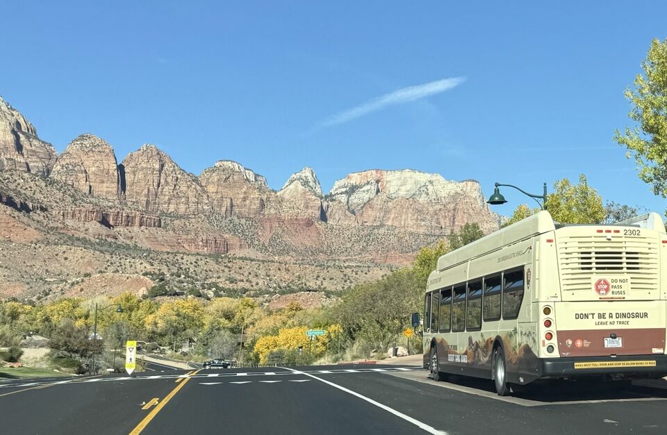
SR-9 travels through Hurricane, La Verkin, Virgin, Rockville, and Springdale before entering Zion National Park. Cottonwoods along the Virgin River typically turn yellow as fall colors reach the lower elevations.
- Distance: Approximately 22 miles one way from La Verkin to Canyon Junction
- Driving Time: Approximately 1 ½ hours round trip without stops or traffic delays
- Park Access: SR-9 turns into Zion-Mount Carmel Highway inside Zion National Park. Entering the park requires a Zion National Park entry pass or America the Beautiful interagency pass.
- Large Vehicles: Size restrictions apply on the Zion-Mount Carmel Highway between Canyon Junction and the East Entrance. Check our Road Restrictions page for vehicle size limits.
👉Get more details about the scenic byway on our UDOT Zion Area Scenic Byway webpage and page.
Enjoy Your Drive with Our Traffic and Safety Tips
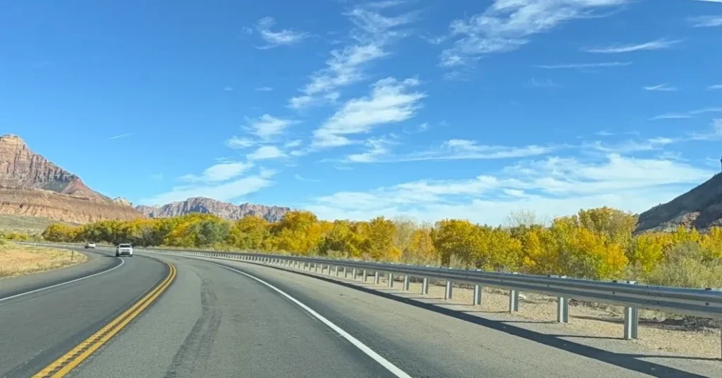
These roads can be narrow, two-lane roads with blind corners that are heavily trafficked with tour buses, shuttles, passenger cars, motorcycles, cyclists and pedestrians. Keep the following in mind to navigate these roads safely.
- Be alert: Keep your full attention on the road, no texting and driving, and turn off cruise control so you can respond quickly, especially at pedestrian crossings.
- Use caution: Maintain a safe following distance. Blind corners and steep drop-offs with limited guardrails mean you need to stay in your lane and never cut corners.
- Watch for wildlife: Deer, elk, moose, and smaller wildlife frequently cross these roads, and are most active during dawn and dusk when visibility is reduced. Remember that if one animal crosses, others often follow right behind.
- Go the speed limit: There are speed fluctuations between the long stretches of highway and the gateway communities. When you are passing through the communities, slow down to the posted speed limit and be alert for pedestrians and cyclists. In addition, lowering your speed gives you more reaction time on steep descents and sharp curves. Manage your descent speed by downshifting into a lower gear (engine braking) rather than riding your brakes to avoid brake overheating and mechanical failure.
- Use pullouts: Want to snap a photo or take in the view? Stop only in designated areas and pull completely out of the travel lane.
- Watch for cyclists: Give cyclists at least three feet of space when passing. Be aware that downhill cyclists can travel as fast as motorized vehicles.
- Watch for buses and shuttles: Keep an eye on buses and shuttles that may slow as they approach stops, especially in the town of Virgin. This area transitions from highway speeds to bus stops very quickly.
- Plan for weather: Rain, hail, or early-season snowfall can affect high-elevation routes, including SR-14, SR-143 and SR-148.
- Check your vehicle: Ensure your brakes, tires, and cooling systems are in good condition. Steep grades put high stress on vehicle engines while long descents put friction and heat on your brakes.
Share: